New Jersey Maps Home > New Jersey Map Collection > Elizabeth Map
Street Map of Elizabeth
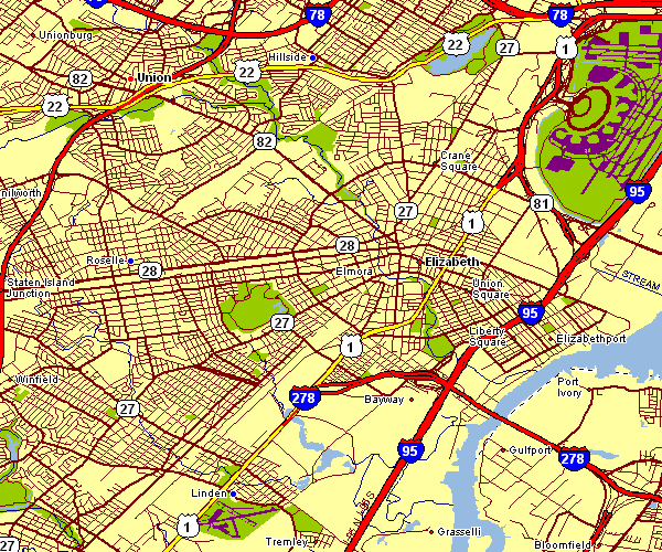
The map above is a simple picture setting out the layout of this area with a classic collection of map components.
You are granted permission to print this map and take advantage of it in your research. Linking back to this resource would be helpful.
If you desire assistance getting a map, a particular map, or desire a nice custom preparation, do not hesitate to contact YellowMaps.
Procure first-rate customized maps from us. Cuztomized maps by YellowMaps provide a wonderful collection of map elements, e.g.: parkways, map projection, UTM coordinates, channels, islands, undersea features, falls, or plains, etc. Types of maps reach from political to satellite, large-print to small-print, state or province to consolidated cities.
Nice maps are precise, complete, and not old. Skillful cartography by YellowMaps.
To procure physical maps, like road atlases, folded maps, or maps for kayaking, quickly pay a visit to YellowMaps Map Store We carry more than 100,000 products.
Mapping the world. One step at a time.
Back to New Jersey map collection